The Bear-North column from 27,000 ft before collapsing and turning the next day into night. The smoke was too thick for long wave infrared and fire growth was about 5 mph. In the morning we were called out of bed to go underneath and map. ATT/FirstNet beam form...
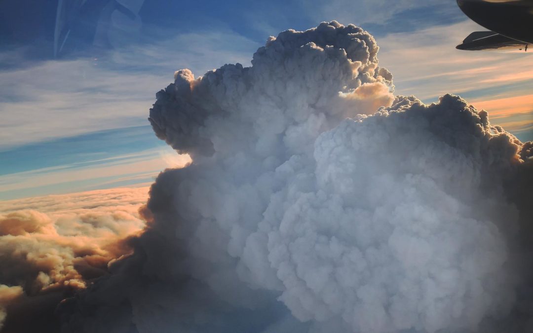
The Bear-North column from 27,000′
read more