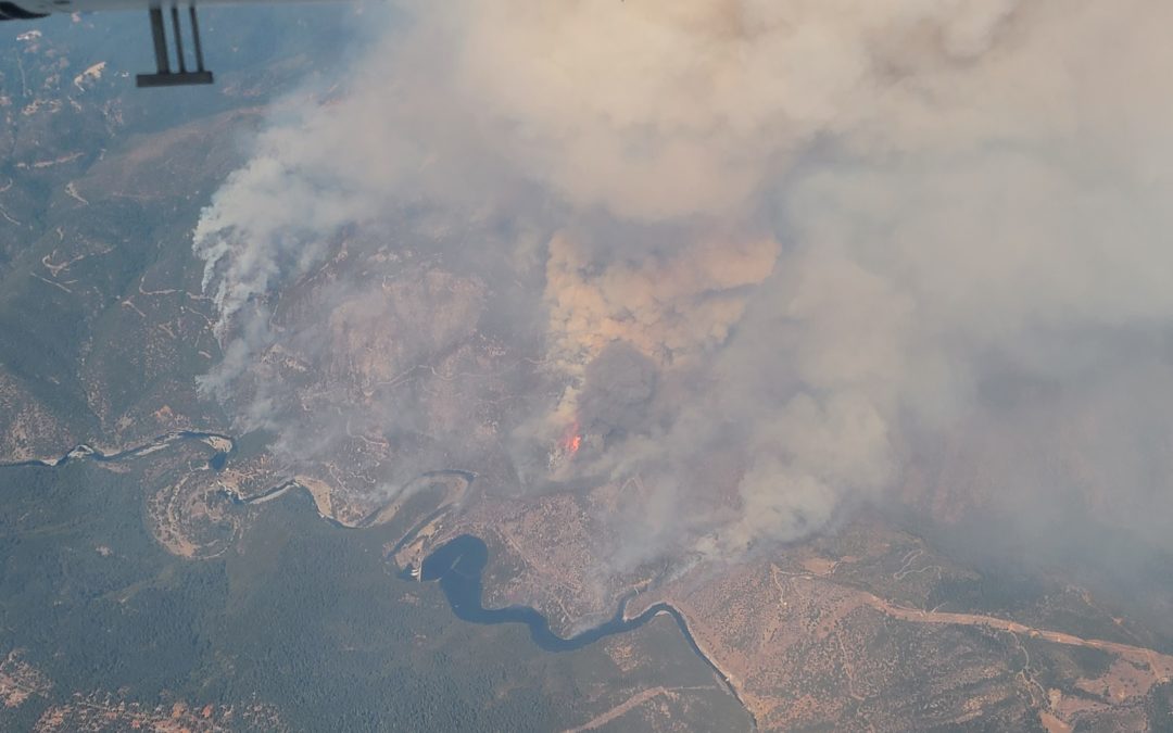
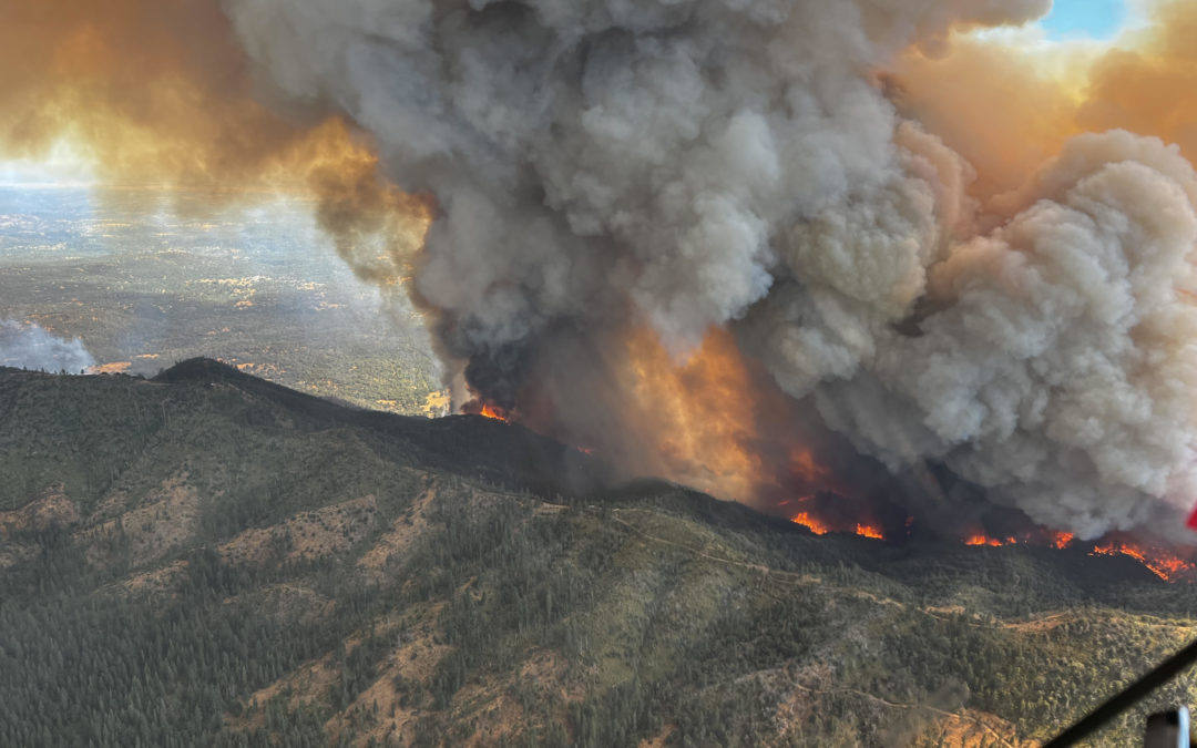
The Mosquito Fire was active for just 50 just days in Placer and El Dorado Counties, burning a total of 76,788 acres. The incident destroyed 78 structures and damaged 13 more.
Mosquito Incident – September 6, 2022
read more
The Mosquito Fire was active for just 50 just days in Placer and El Dorado Counties, burning a total of 76,788 acres. The incident destroyed 78 structures and damaged 13 more.
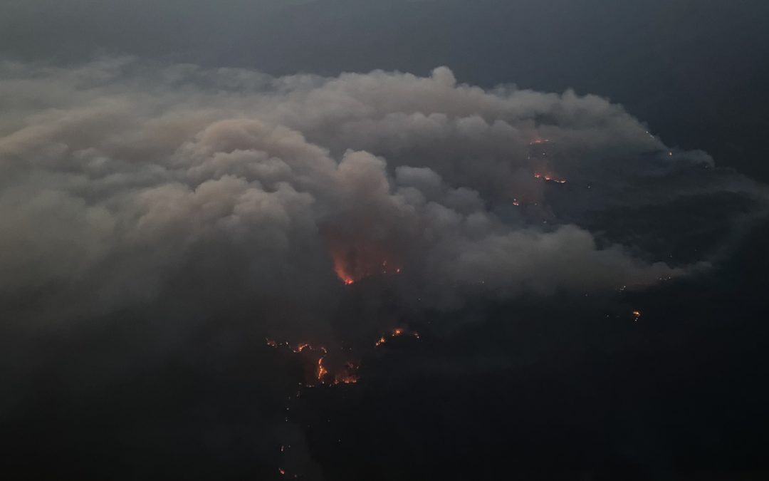
The Mill Fire was active for 11 days burning 3,935 acres, destroying 118 structures and killing two people.
The Mountain Fire was active for 103 days burning 13,440 acres and destroying 4 structures, no one was killed during this incident.
The Six Rivers Lightning Complex was active for 88 days in Humboldt and Trinity Counties. This fire burned a total of 27, 019 acres, destroying 8 structures and injuring 5 firefighters.
The Electra Fire was active in Calaveras and Amador Counties for a total of 120 days, burning a total 4,478 acres. 452 structures were threatened by this incident.
The Oak Fire was active in Mariposa County for 102 days, burning a total of 19,244 acres and destroying 193 structures. 3 Firefighters were injured.
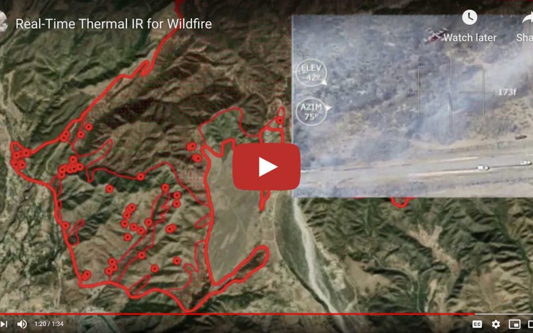
mapped over 100 Million acres, 493 fires. Thermal IR live-streamed to firefighters when our mesh radio-van was ordered.
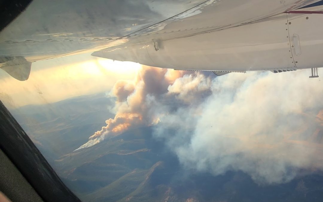
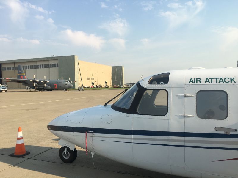
Courtney Aviation provides tactical aviation services including aerial Infrared mapping of California wildfires shared with ground crews and fire management teams. This video shows technology in action on the 2020 Apple fire.
Dispatches from Courtney Aviation on Linkedin July 2020 Seeing what you say in national news every day is strange. Incidental to mapping all SoCal fires, we produce an acreage count, usually around midnight. It's not why we are there, but no one else on the fire can...
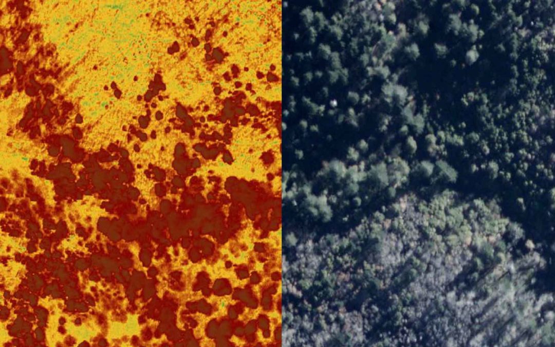
Recently we've been mapping burned vegetation now that the smoke has cleared. Our daytime flights have been one of the first times large fires have been regularly imaged during the day. NIROPS and others mostly fly at night, but our high resolution 16-bit depth...
SQF Team swap last night used our live aerial IR. A step-stare camera flying a NIROPS mission at 17500 transmitted live NADIR high-resolution LWIR & RGB and NIR on to the bottom of a big war-room screen and simultaneously showed AI fire polygons instantly as...